India-US Team Successfully Sends Earth Observer to Orbit
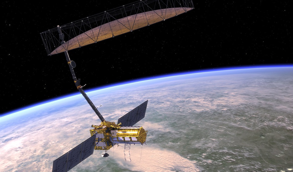
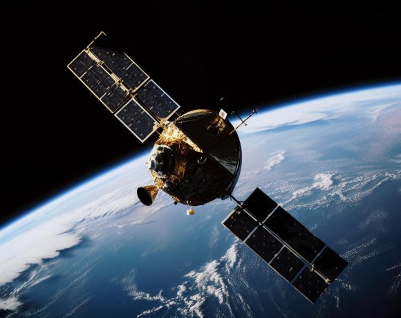
India’s GSLV‑F16 rocket successfully launched the NASA–ISRO Synthetic Aperture Radar (NISAR) satellite on July 30 from the Satish Dhawan Space Centre in Sriharikota. The satellite was placed in a sun-synchronous polar orbit at an altitude of 743 km. The mission marks a significant milestone in India–US space cooperation and is among the most advanced Earth observation missions to date.
High-Tech Radar for Planet Monitoring
NISAR carries dual-band radar systems—NASA’s L-band and ISRO’s S-band—designed to capture fine-scale changes in Earth’s surface. It will conduct full global scans every 12 days, tracking movements related to earthquakes, glacier shifts, landslides, floods, and deforestation. The mission is valued at approximately $1.5 billion.
Global Impact on Climate and Disaster Response
The satellite will generate openly accessible data that will support global efforts in climate science, natural disaster preparedness, and sustainable land use. It is expected to significantly boost real-time decision-making for governments, researchers, and emergency responders.
A Landmark in Bilateral Space Ties
The launch represents a deepening of scientific collaboration between India and the United States. Officials from both countries described NISAR as a symbol of shared commitment to using space technology for solving real-world challenges. The success of the mission is seen as a diplomatic and technological high point for 2025.
Seamless Countdown and Liftoff
The launch countdown began on July 29, and liftoff occurred at 5:40 p.m. IST on July 30. Mission controllers confirmed satellite deployment and operational status shortly after separation from the rocket. All systems aboard NISAR were reported to be functioning normally.


